

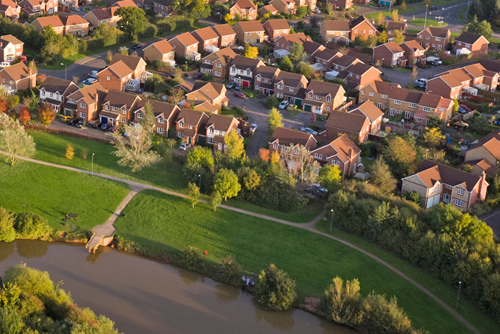
Climate Risk Screening
Our climate risk screening provides full hazard exposure assessment for any location or portfolio anywhere in the world. Get a free quick scan report.


Customer Stories
Here's how we're supporting customers in different industries, all over the world to navigate climate risk complexity in an efficient and compliant way.

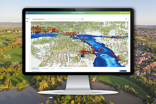
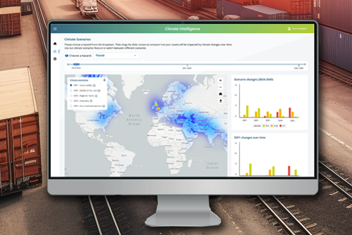
Climate Intelligence Products
We support your climate resilience journey at every stage, underpinned by our deep understanding of how weather affects processes, assets, and the built environment..
Unlocking Success: How We Work with Partners
Check the Twinn Partners page every Friday to watch the latest video in our exclusive new series in which we quiz Ed Burgess, Rightmove Data Services.
Creating Impact with Twinn Climate Intelligence Suite

“We now have a financial impact assessment as well as an operational impact assessment for each asset, based on flood risk.”
Justine Webster, BT Group
“Working with Twinn, we have fundamentally changed the mortgage market's understanding of flood risk exposure.”
Graeme Gillespie, Hometrack

“Working with Twinn has been incredibly valuable – and fantastic value for money.”
Jonathan Glerum, Anglian Water


Maintaining Business Continuity
Environmental hazards can have a huge impact on the supply chain. Weather forecasting can mitigate some of that risk by providing businesses with data driven insights to improve resilience and help them maintain business continuity.
Find out more about our approach to safeguarding business continuity for future resilience with Royal HaskoningDHV
Our products
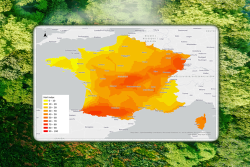
Climate Scores
Quantify changes in climate risks across all future scenarios and time periods.
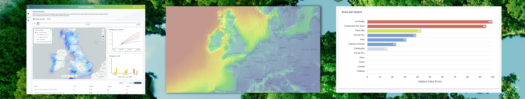
Climate Intelligence App
Global exposure analysis and risk insights.
- Analyse data across multiple dimensions
- Gain an objective, quantified view of climate risk exposure
- See the best available geospatial data for any type of hazard in your results
- Make informed decisions and explain them clearly
News
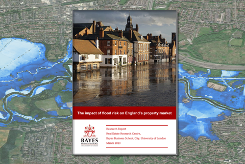
1 in 6 English properties at risk of flooding by 2050
This report from Bayes Business School analyses the impact of flood risk on England's property market leveraging property price data from Rightmove and Twinn climate risk data.

Royal HaskoningDHV launches new digital solutions brand Twinn
The new brand helps organisations manage opportunities and risks to make better informed strategic and operational decisions.
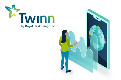
Meet Twinn
Discover what you can do with Twinn software and data solutions. Twinn brings together recognised brands like Ambiental, Aquasuite, and Lanner. Watch a video about the people behind Twinn!